Manotick
A Rideau River community in Ottawa's rural south, with mostly single-detached, owner-occupied homes.
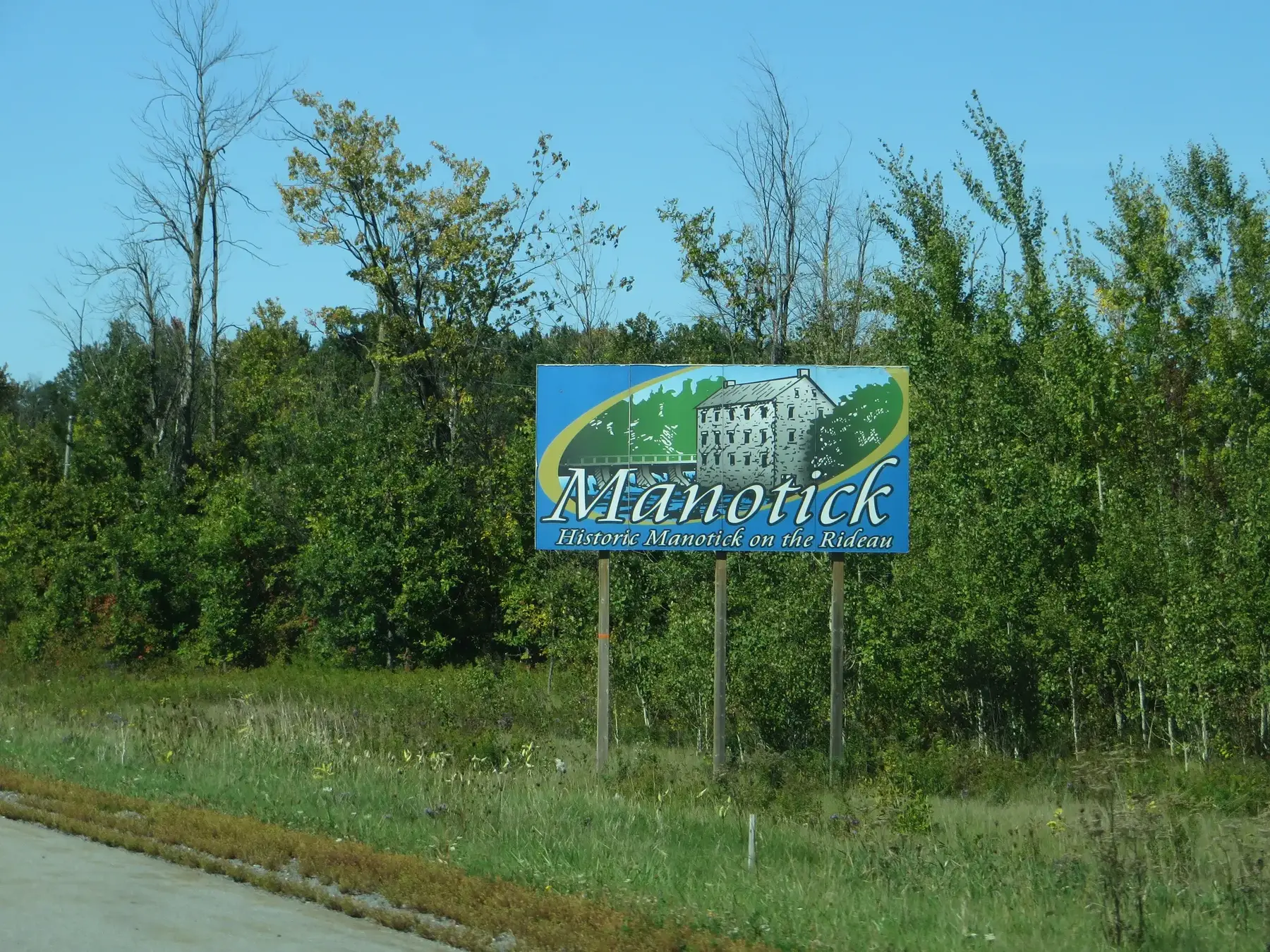
Manotick is a community in Rideau-Jock Ward in the rural south part of Ottawa, on the Rideau River, immediately south of Barrhaven and Riverside South. Population: 10,445 (2021).
Updated · Facts on this page link to their sources
About Manotick
Manotick is a community in Rideau-Jock Ward in the rural south part of Ottawa, on the Rideau River, immediately south of Barrhaven and Riverside South. The Ottawa Neighbourhood Study area had 10,445 people and 3,955 private dwellings in the 2021 census. Median age was 48.0, 16.7% of residents were aged 0–14 and 22.1% were 65 or older. Of dwellings, 94.2% were single-detached houses, and 92.9% of households owned their home. The village was founded in 1864 by Moss Kent Dickinson.
Boundaries
Ottawa Neighbourhood Study area "Manotick". ons-sqo.ca ons-sqo.ca
Homes
In the 2021 census (via the Ottawa Neighbourhood Study), 94.2% of Manotick dwellings were single-detached houses, 2.7% were row houses and 0.8% were semi-detached. Apartments in buildings under five storeys made up 1.3%, flats in a duplex 0.8%, and buildings of five or more storeys 0.0%. 92.9% of households owned and 7.1% rented, with an average household size of 2.7. ons-sqo.ca
- Population 10,445 and 3,955 private dwellings (2021 census, Ottawa Neighbourhood Study area).
- 94.2% single-detached houses; 92.9% owner households (2021 census).
- Watson's Mill is a working museum and the village's well-known landmark.
- 41 parks in the City inventory; tree canopy coverage 28.3% (2024).
- Mike O’Neil Arena about 1.1 km and the library branch about 1.4 km from the centre, straight-line.
- Ward 21 (Rideau-Jock), councillor David Brown, per City of Ottawa ward data, October 2026.
Community
How Manotick came to be
- 1833
The settlement of Long Island Locks formed around the newly built Long Island locks on the Rideau Canal; a post office followed in 1854. en.wikipedia.org
- 1859
Moss Kent Dickinson and Joseph Merrill Currier obtained water rights and built a stone mill on the Rideau River after a bulkhead was built across the river's west branch. It operated from 1860 as the Long Island Flouring Mills. en.wikipedia.org
- 1863
Dickinson House, the first major building in Manotick, was built; it served as a general store, bank, post office and telegraph office. en.wikipedia.org
- 1864
Manotick was founded by Moss Kent Dickinson, who named it after the Algonquin word for "island". en.wikipedia.org
- 1876
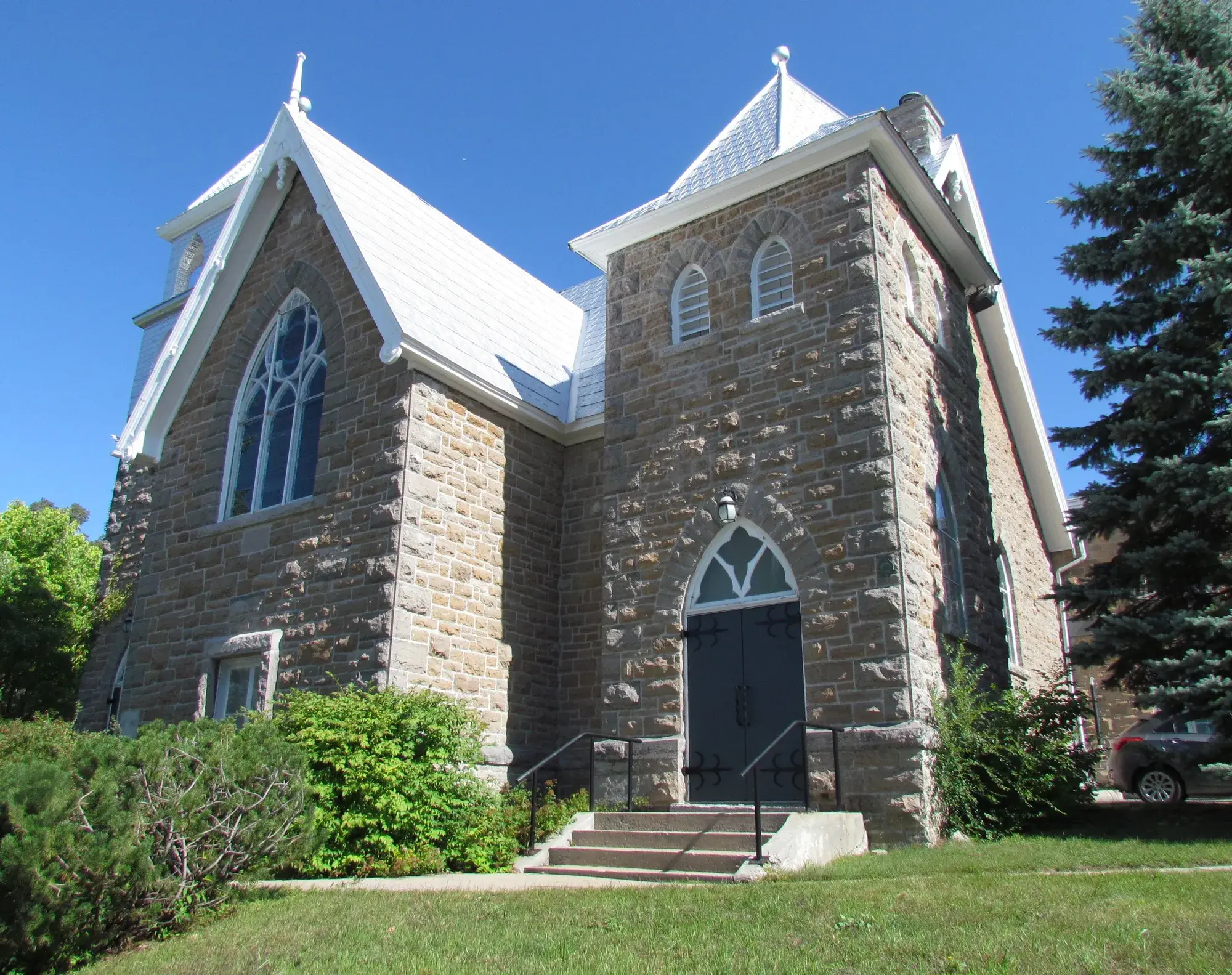
The original wooden St. James Anglican Church was built in a Norman style on land donated by Dickinson. en.wikipedia.org
- 1944
A Royal Canadian Navy high-frequency radio station operated on the Prescott Highway from 1944 to 1947; it later evolved into the Radio Propagation Laboratory. en.wikipedia.org
- 1946
Harry Watson bought the mill and renamed it Watson's Mill; the Rideau Valley Conservation Authority bought it in 1972 and developed it into a museum. en.wikipedia.org
- 2001
Manotick became part of the City of Ottawa at amalgamation; before that it was in Rideau Township. en.wikipedia.org
- 2008
Ottawa City Council rejected Minto's proposed Mahogany development in 2008. The Ontario Municipal Board approved it in 2009, and after cooperation between Minto and the community the approved plan has been under construction. en.wikipedia.org
Local names worth knowing
- Moss Kent Dickinson
Entrepreneur who founded Manotick in 1864 and built its flour, carding and saw mills; the Dickinson Days festival is named after him. en.wikipedia.org
- Joseph Merrill Currier
Dickinson's partner, who helped obtain the water rights and build the mill on the Rideau River in 1859–1860. en.wikipedia.org
- Harry Watson
Bought the mill in 1946, which then took the name Watson's Mill; he was the last owner to run it at an industrial level. en.wikipedia.org
Around Manotick
Walking rings at 5, 10 and 15 minutes from the neighbourhood centre.
Schools
3 nearbyManotick Public School
OCDSB1075 rue Bridge Stmaps.ottawa.ca ocdsb.ca
1.4 km18 min walkSt. Leonard School
OCSB5344 ch. Long Island Rdmaps.ottawa.ca ocsb.ca
2.5 kmfrom centreSt. Mark High School
OCSB1040 ch. Dozois Rdmaps.ottawa.ca ocsb.ca
3.4 kmfrom centre
Straight-line distances from the Manotick centre. Living near a school does not guarantee a place: confirm the designated school for an address with each board. All schools and board locators.
Parks & places
10 nearbyBridgeport Parkette South
Passive Recreation park
503 Bridgeport Avenuemaps.ottawa.ca
120 m1 min walkBridgeport Parkette North
Passive Recreation park
500 Bridgeport Avenuemaps.ottawa.ca
150 m2 min walkOrchard Hollow Park
Passive Recreation park
1091 Orchard Hollow Drive, Rideaumaps.ottawa.ca
220 m3 min walkMajor W. Ross Chamberlain Park
Active Recreation park
520 Bridgeport Avenuemaps.ottawa.ca
240 m3 min walkBarney McCarney Landing
Passive Recreation park · waterfront access
5671 South Island Park Drive, Rideaumaps.ottawa.ca
270 m3 min walkLela Scharf Park
Passive Recreation park · waterfront access
171 Spindrift Circlemaps.ottawa.ca
270 m3 min walkStormwater Management Area (Mahogany Creek)
Passive Recreation park · waterfront access
546/545 Bridgeport Ave, 812 Skysail place, 1160 Potter Drmaps.ottawa.ca
430 m5 min walkWashka Park
Passive Recreation park · waterfront access
855 Artemis Circlemaps.ottawa.ca
550 m7 min walkVan Vliet Park
Passive Recreation park
1064 Hill Street, Rideaumaps.ottawa.ca
740 m9 min walkDr. O.B. Wilson Park
Passive Recreation park
216 Skipper Drivemaps.ottawa.ca
760 m10 min walk
Shops & dining
6 nearbyRexall
Pharmacy
1160 Beaverwood Roadopenstreetmap.org
890 m11 min walkYour Independent Grocer
Supermarket
1160 Beaverwood Roadopenstreetmap.org
900 m11 min walkPharmaChoice
Pharmacy
5556 Manotick Main Streetopenstreetmap.org
1.0 km13 min walkManotick BIA
Business improvement area (City of Ottawa BIA layer)
1.3 km17 min walkShoppers Drug Mart
Pharmacy
5230 Mitch Owens Roadopenstreetmap.org
1.7 km21 min walkPharmasave
Pharmacy
990 River Roadopenstreetmap.org
1.7 km21 min walk
Getting around
TransitO-Train
Limebank station is about 6.6 km away in a straight line (open; Line 2).
O-Train
Bowesville station is about 8.9 km away in a straight line (open; Line 2).
Downtown
Parliament Hill is about 22.9 km away in a straight line.
For sale in Manotick
No Manotick homes on manotick.homes right now
Selling here? Get a website for your home, or browse every home for sale in the area.
Neighbouring areas
Quick answers
Short answers first; each links to the full answer and its sources.
Is Manotick a good place to live?
That depends on what you want. Manotick is a Rideau River community in Ottawa's rural south, where 94.2% of dwellings are single-detached houses and 92.9% of households own (2021 census, via the Ottawa Neighbourhood Study). Daily life is car-oriented: 92.2% of workers commute by car, and the area is about 22.9 km from downtown in a straight line.
As of 2026-10 · ons-sqo.ca en.wikipedia.org
Where is Manotick in Ottawa?
Manotick is a community in the rural south part of the City of Ottawa, on the Rideau River. It lies immediately south of the suburbs Barrhaven and Riverside South, in Rideau-Jock Ward.
As of 2026-10 · en.wikipedia.org
How far is Manotick from downtown Ottawa?
Manotick is about 22.9 km from Parliament Hill in a straight line (as the crow flies). Wikipedia describes the community as about 25 km from downtown Ottawa.
As of 2026-10 · en.wikipedia.org en.wikipedia.org
What schools serve Manotick?
City of Ottawa data lists eight schools in the Manotick guide area: three OCDSB, four OCSB and one CECCE (French Catholic). They include Manotick Public School, St. Leonard School and St. Mark High School. Families must confirm the designated school for any address with each board's school locator.
As of 2026-10 · maps.ottawa.ca maps.ottawa.ca
Are there French-language schools in Manotick?
City of Ottawa data lists one French-language school in the Manotick guide area: Jonathan-Pitre Catholic Elementary School (CECCE) at 925 Ralph Hennessy Ave, about 5.0 km from the centre in a straight line. Families should confirm eligibility and the designated school with the board's locator.
As of 2026-10 · maps.ottawa.ca en.wikipedia.org
How much do homes cost in Manotick?
This guide has no neighbourhood sale-price figure for Manotick. In the 2021 census (via the Ottawa Neighbourhood Study), the median owner-estimated value of owned dwellings in Manotick was $900,000. For September 2026, OREB reported a citywide Ottawa single-family benchmark price of $705,100 and an average sale price of $685,640 for all homes.
As of 2026-10 · ons-sqo.ca oreb.ca